Ice on the Upper Bay
(Click on a picture for a Hi-Res version)
|
|
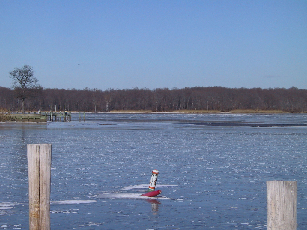
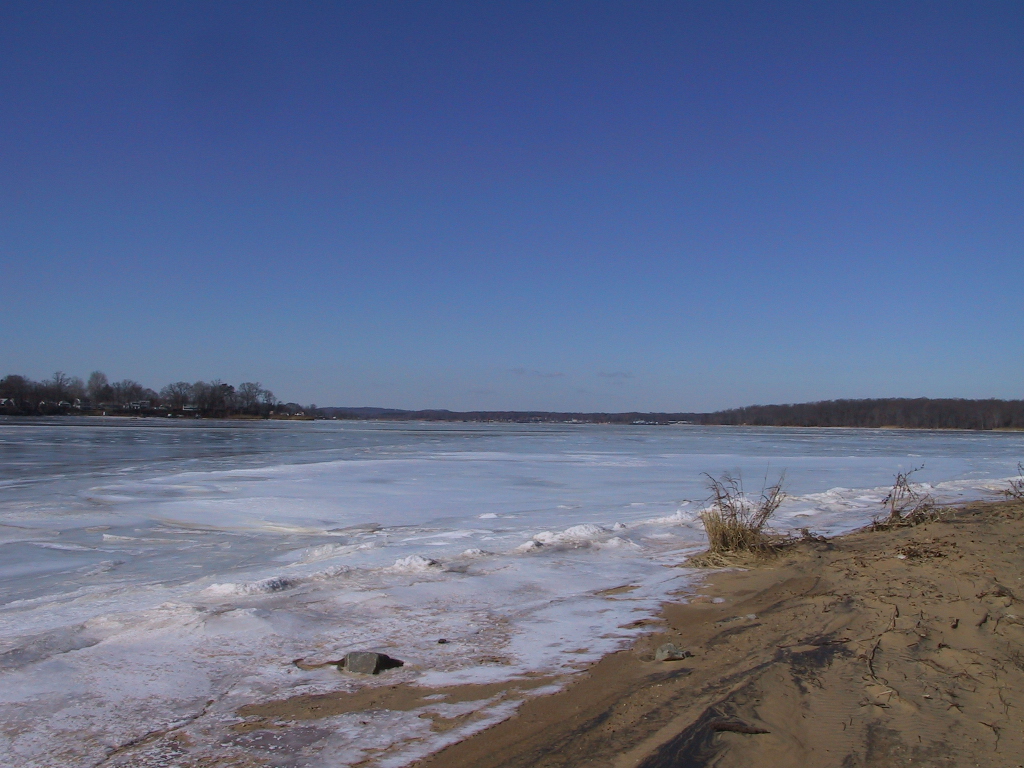
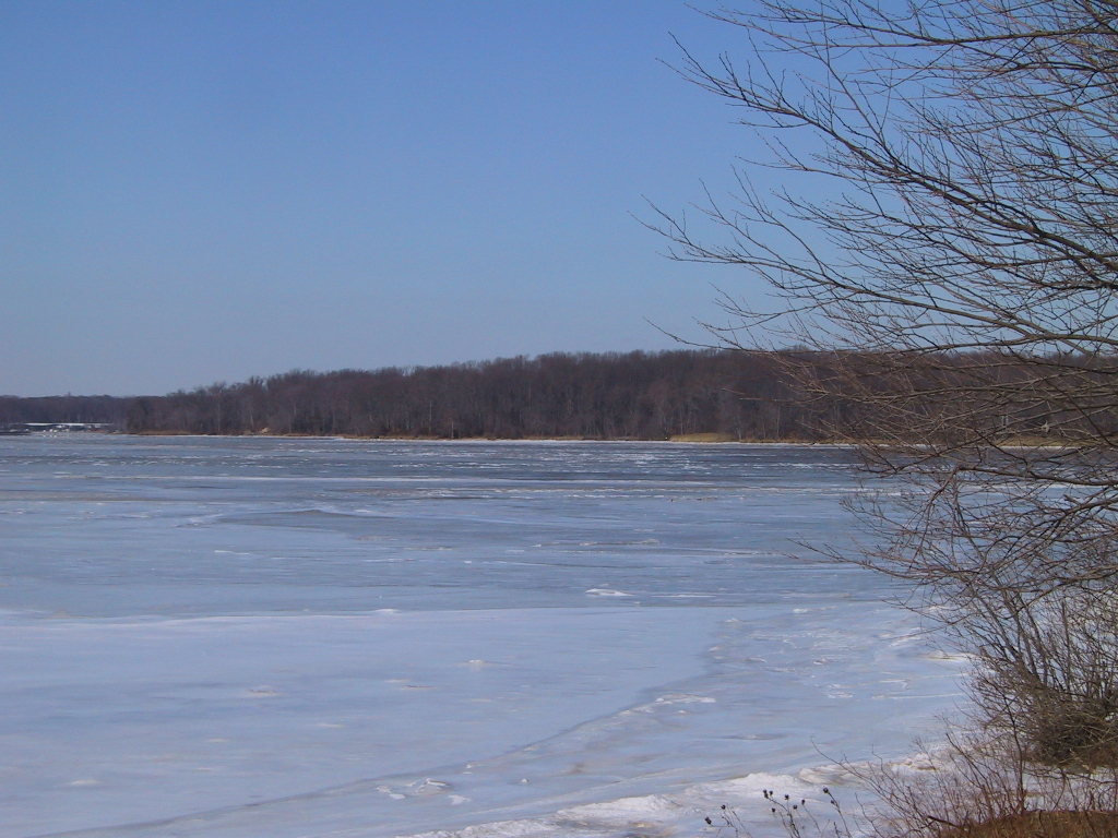
Here's a shot from Hack's Point Marina, near the top of the Bohemia River. The ice stretches across the river. You can also see that the extremely low tides in the winter expose land right in the middle of the river! |
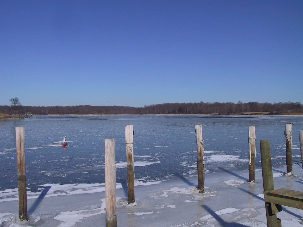
| Here you can see the ice around the pilings near the shore. |
|
|
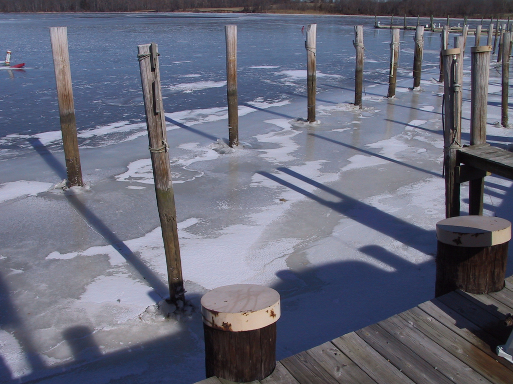
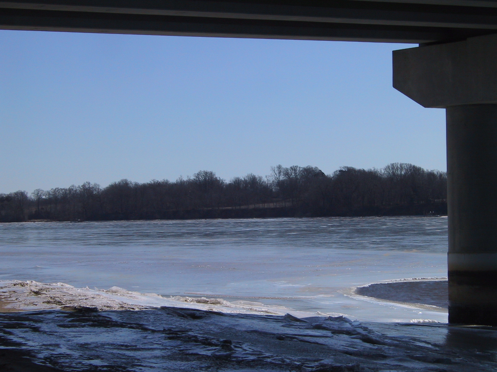
If the ice gets thick enough, when the tide comes in, it will pull the pilings up, and in the spring they will have to be driven back down. |
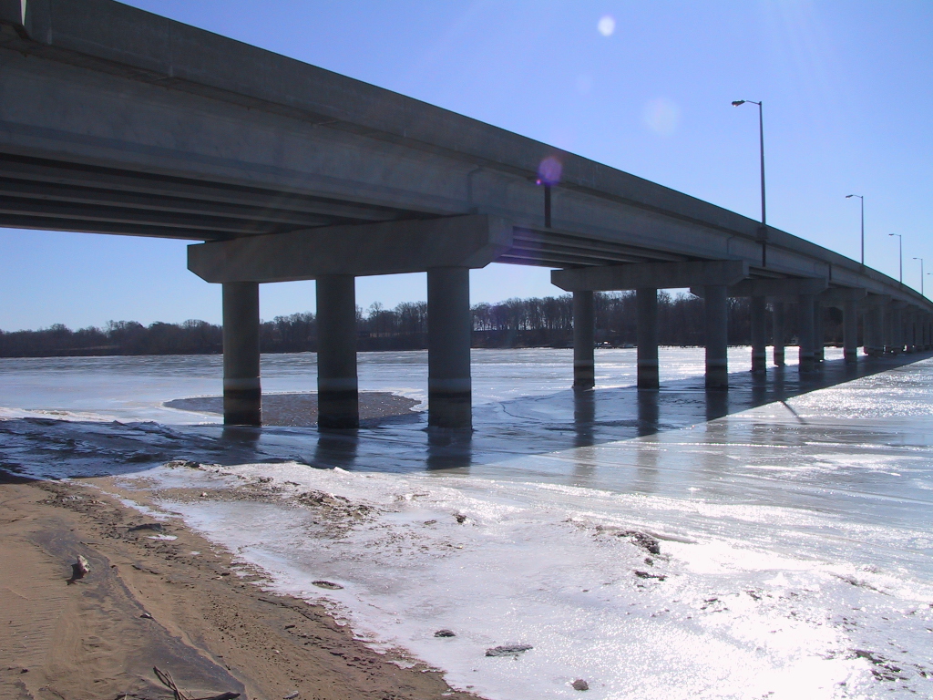
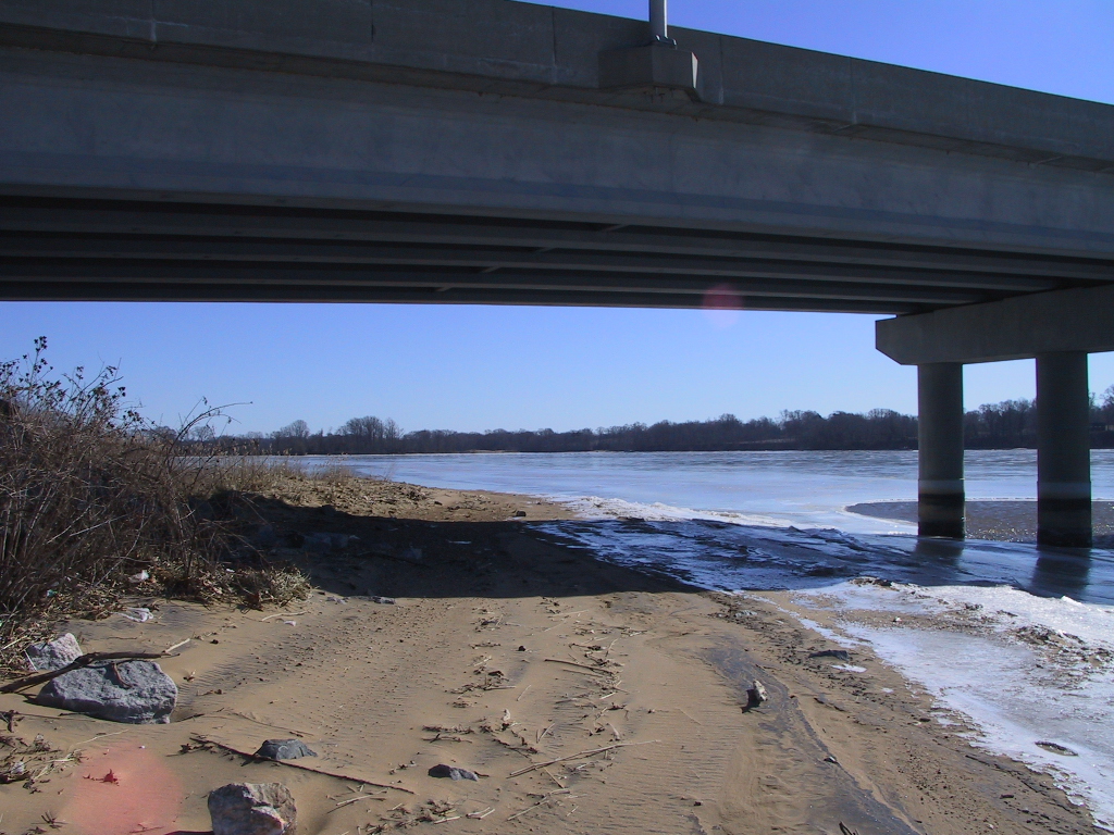
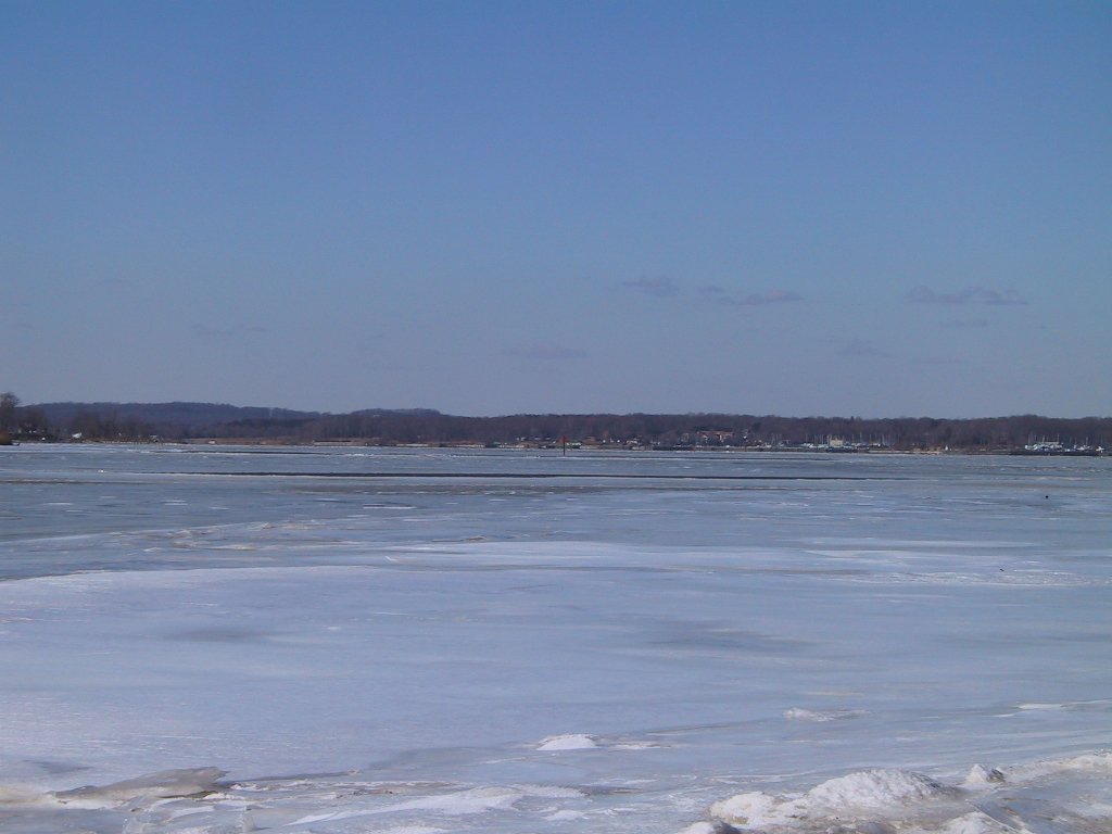
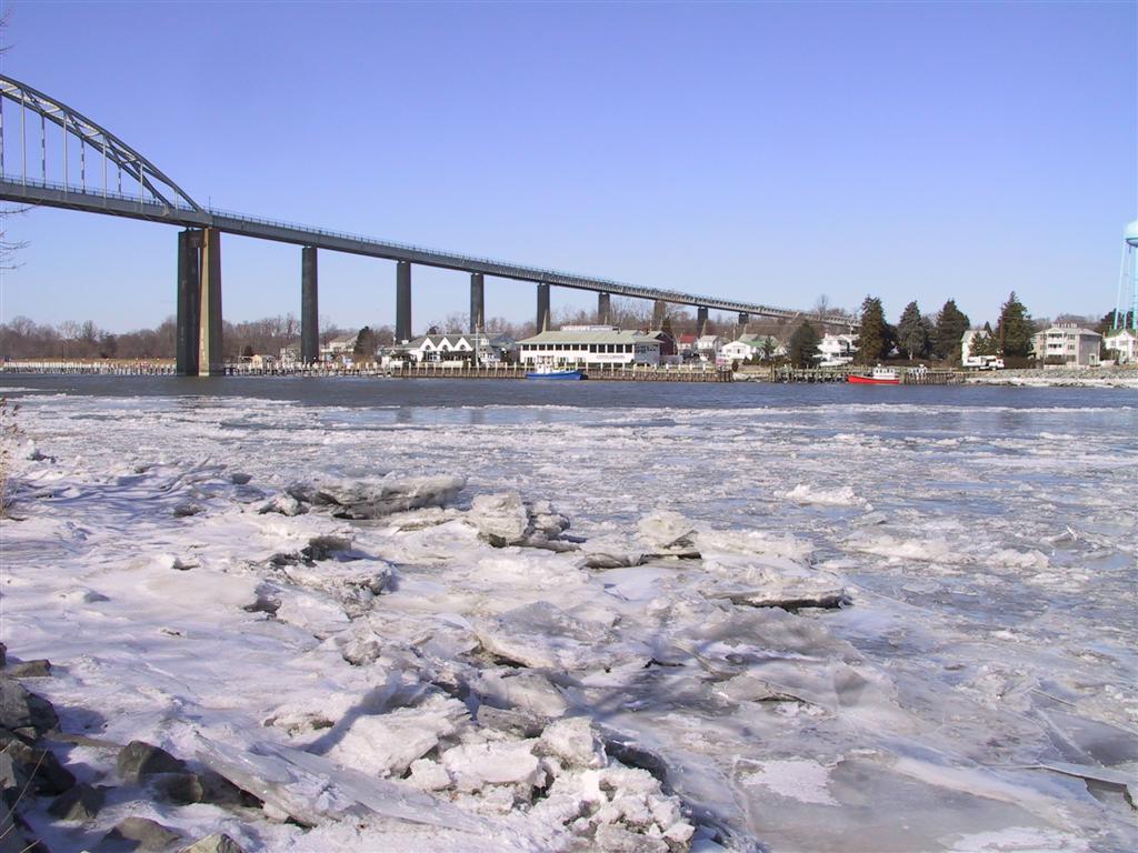
| This is underneath the Rt. 213 bridge that crosses the Bohemia. |
|
|
It's kind of hard to tell, but all the water on the other side of the bridge is frozen. |
| Exept for that little puddle near the support. |
|
|
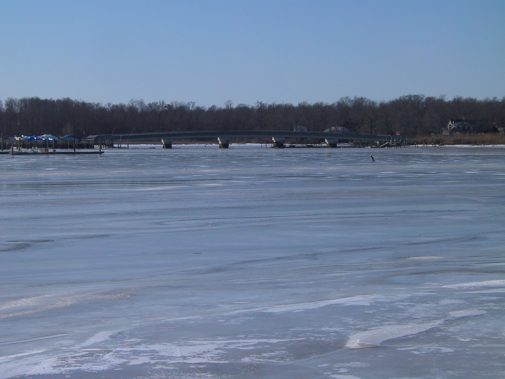
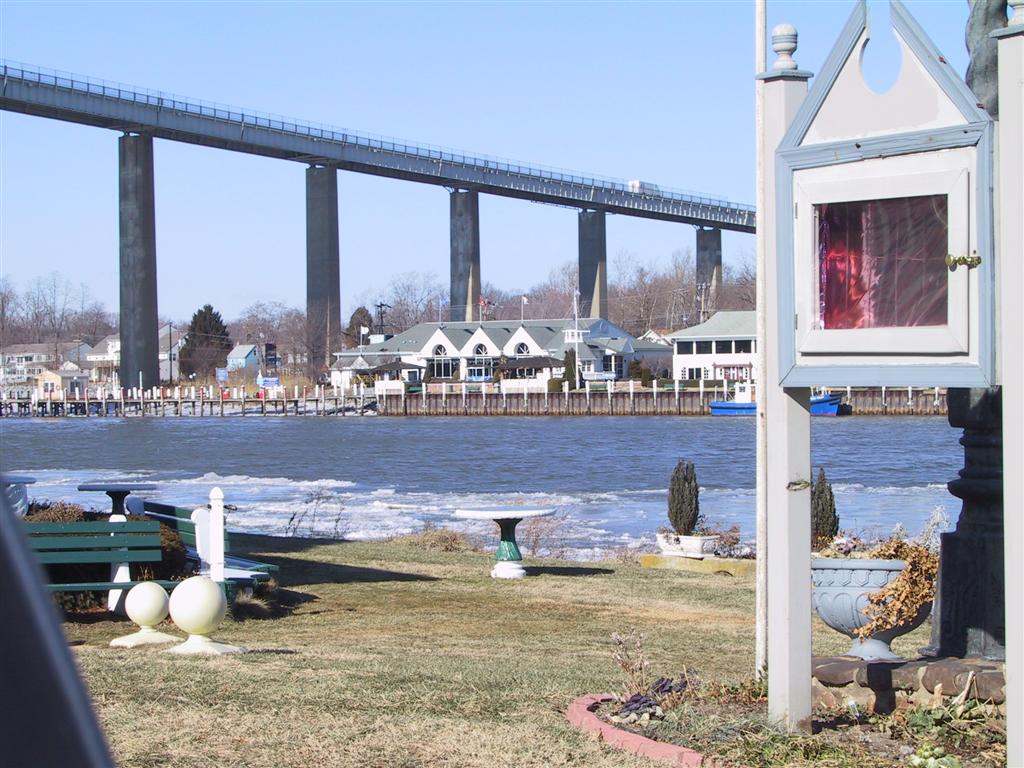
This is a view of the Hack's Point Bridge (Glebe Road) from the other side of the river. |
| Here is the ice all around where I'm standing. |
|
|
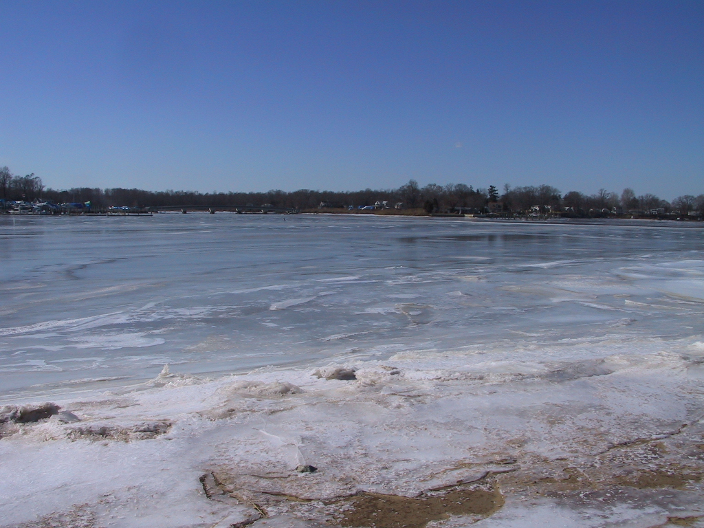
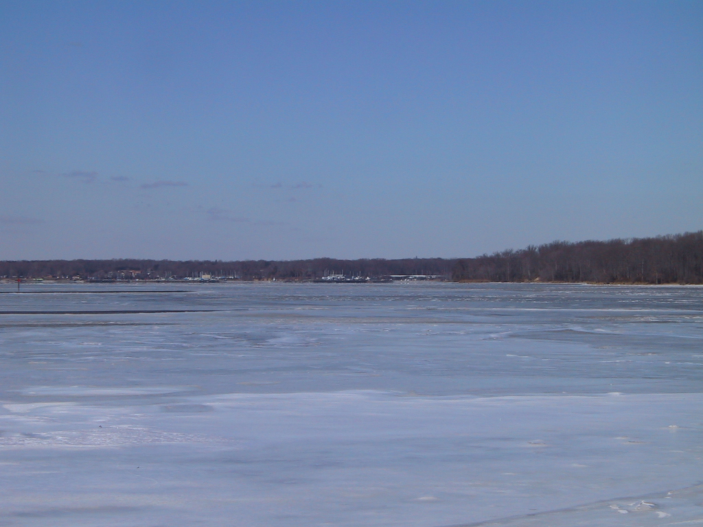
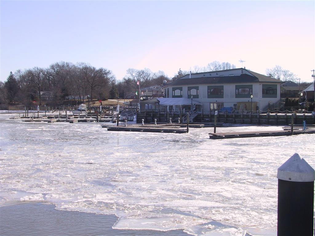
This is looking down towards the Elk River. |
| In the distance is Bohemia Bay Yacht Harbor. |
|
|
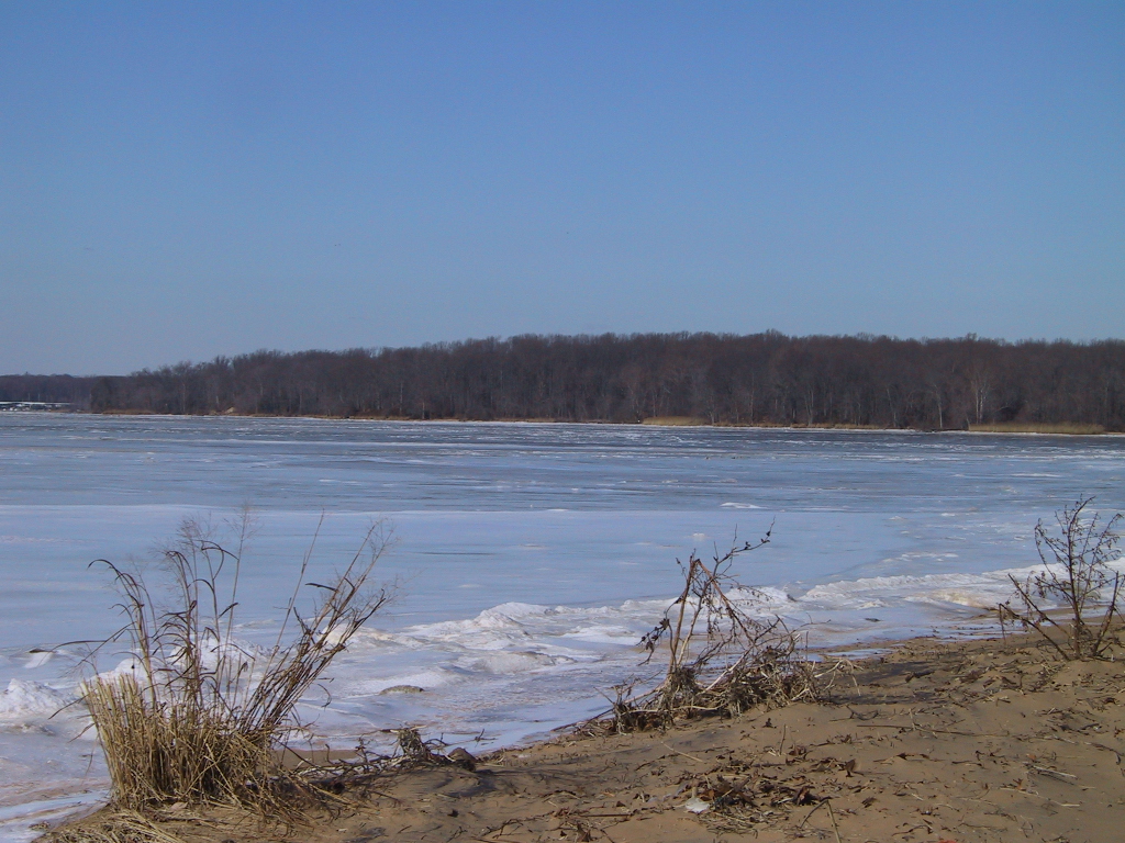
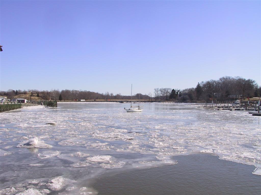
Greenbrier Beach is off to the left. |
| Here again you can see land right in the middle of the river. |
|
|
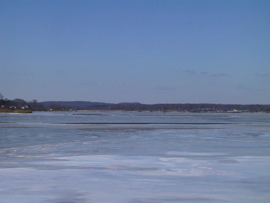
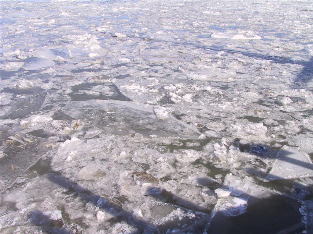
More ice... |
| And more ice... |
|
|
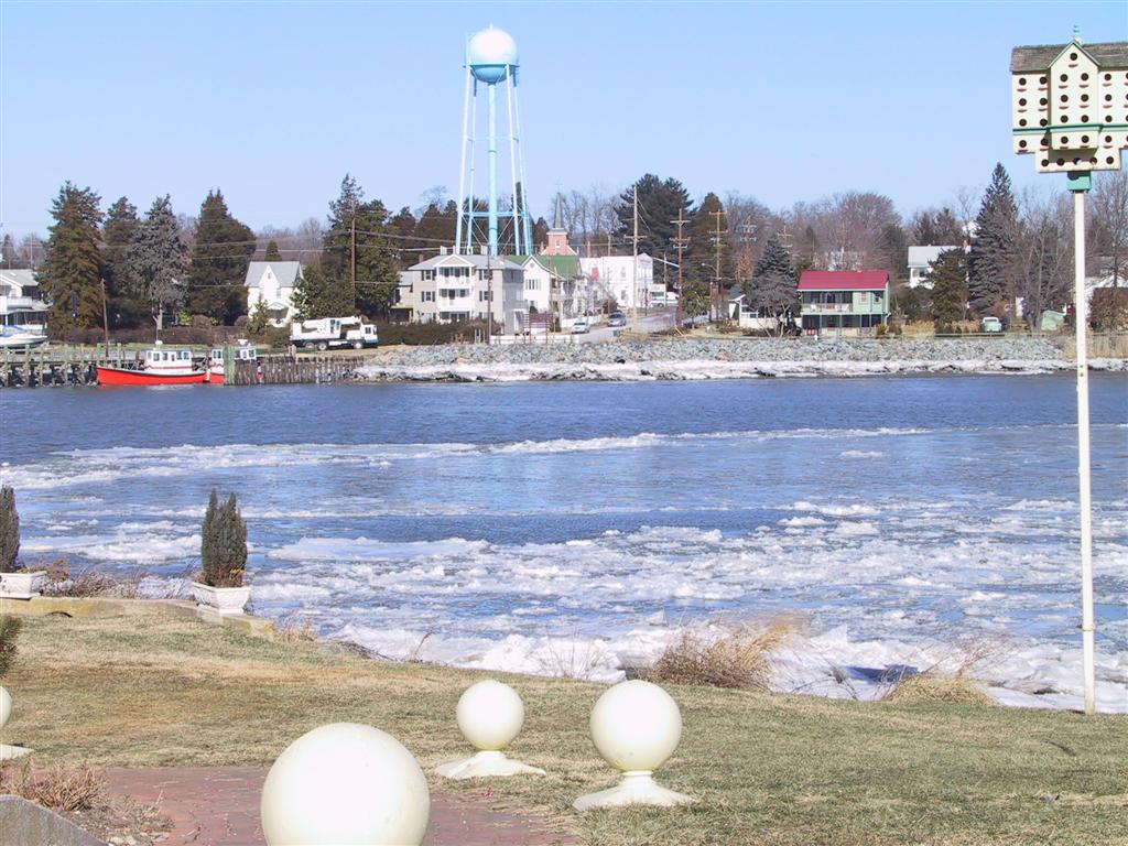
This is a view of the Canal taken from the south side of Chesapeake City. |
| You can see that there are some big chunks of ice, broken up by ships that go by. |
|
|
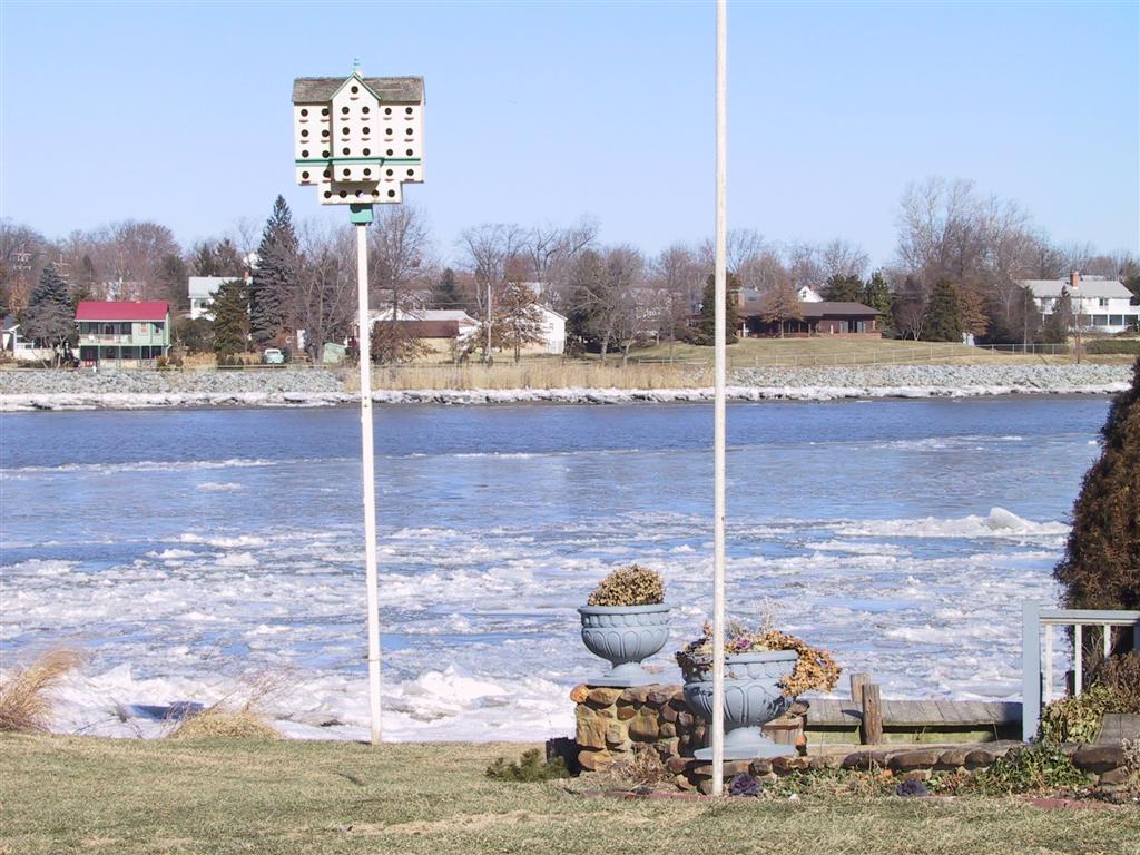
Schaefer's Canal House is in the distance. |
| Here's a shot of all the ice as it piles up on the shore. |
|
|
More big chunks of ice. |
| Ice all the way across to the Corp of Engineers. |
|
|
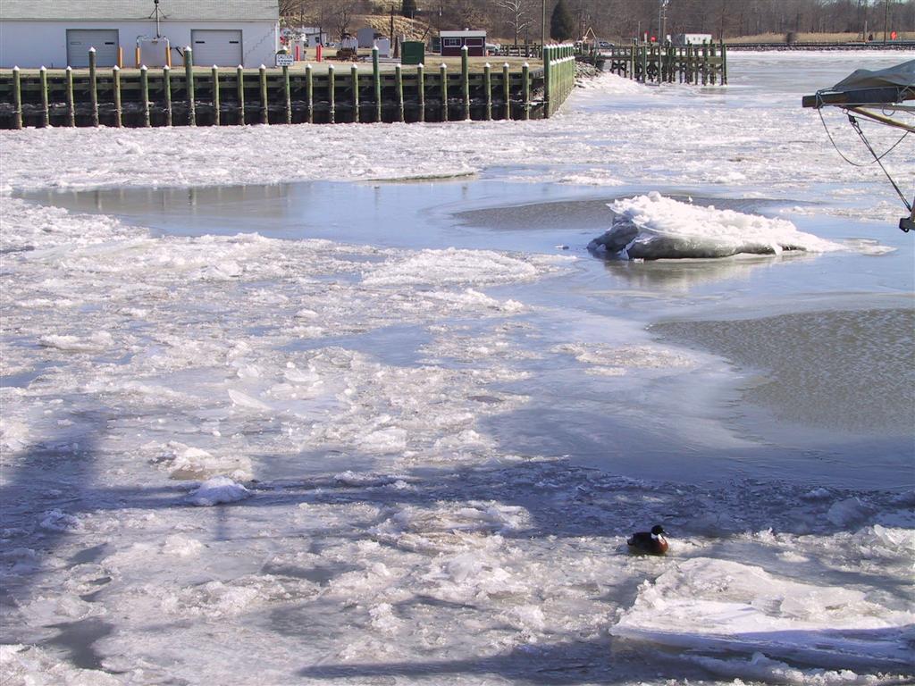
There's a big chunk sticking up where it's real shallow. |
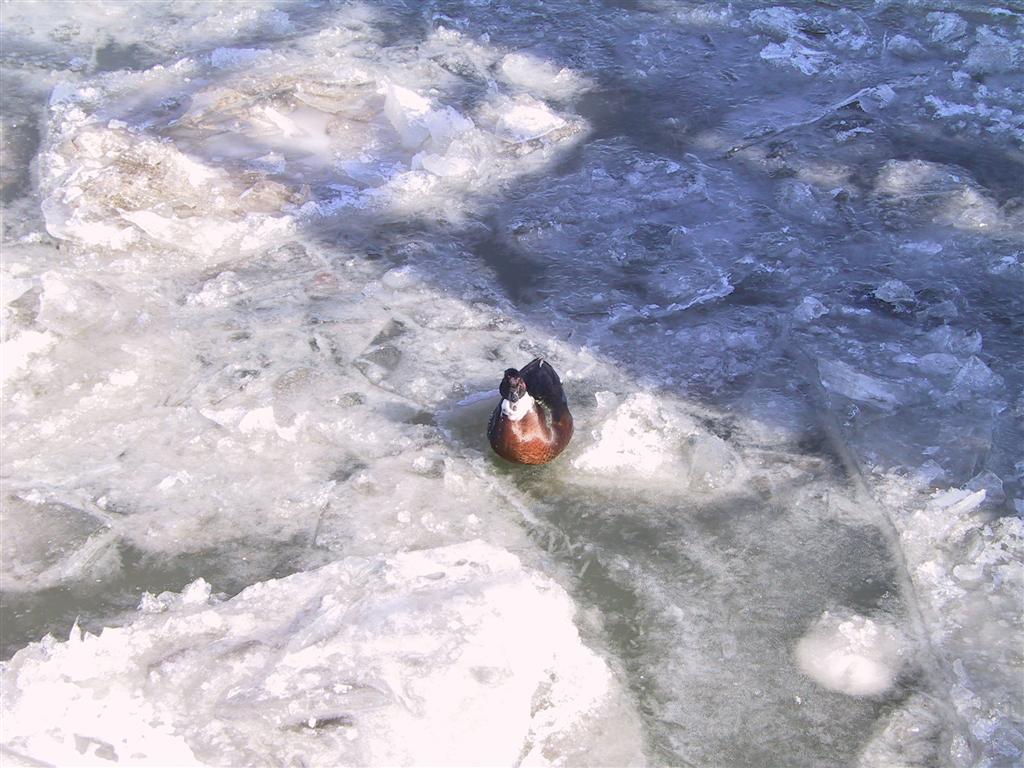
| This duck is pretending it's summer. Or else he's frozen there and waiting patiently for spring. |
|
|
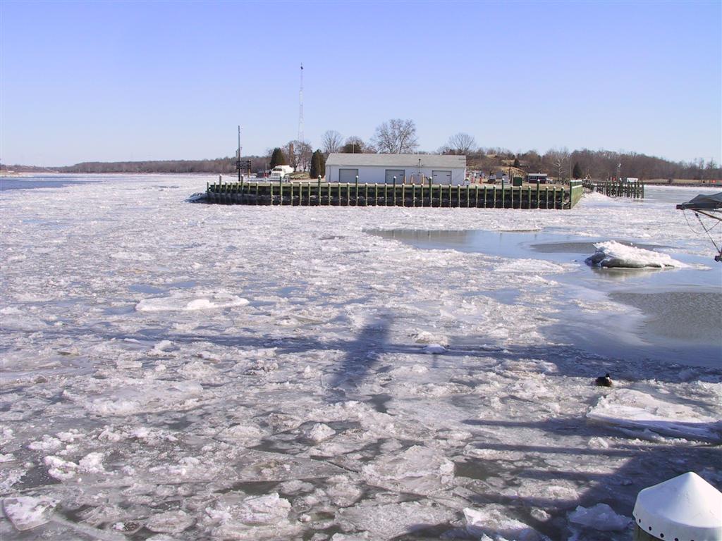
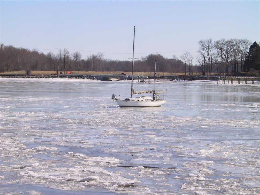
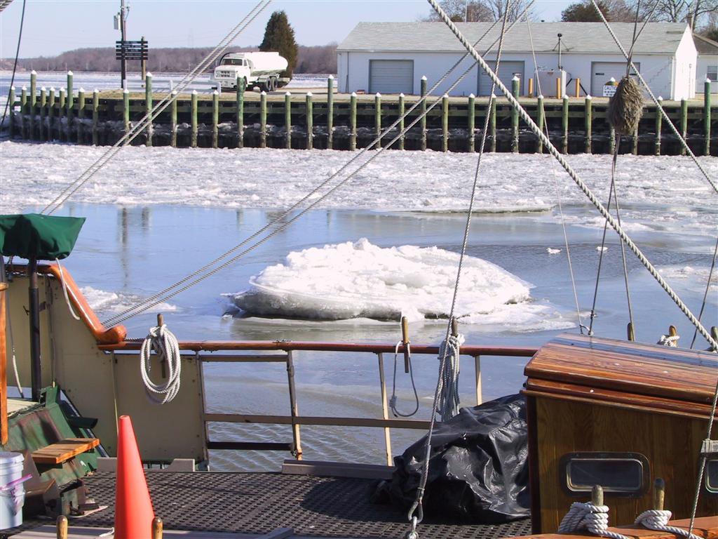
Here's the dock at the Corp. |
| Let's take bets on whether this sailboat is still floating in the spring. |
|
|
I recognize this place.... It's the Chesapeake Inn! |
| The back of Engineer's Cove. |
|
|
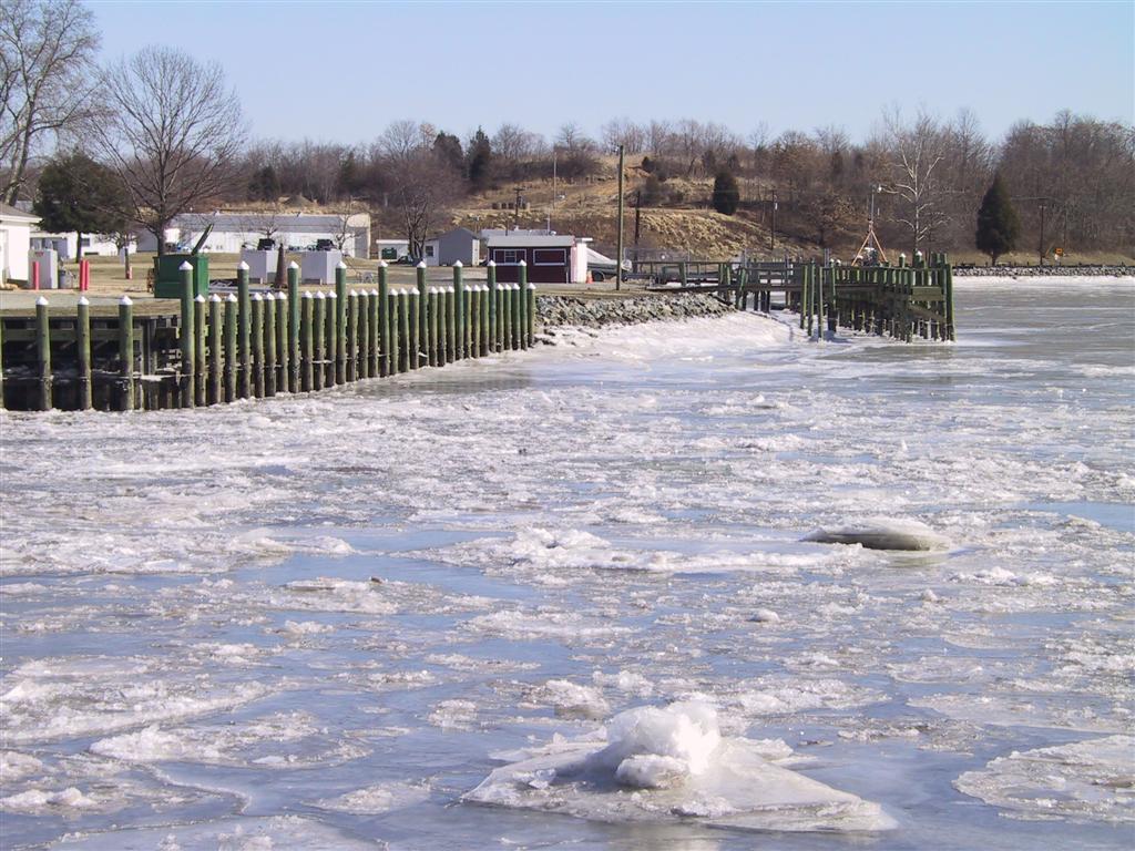
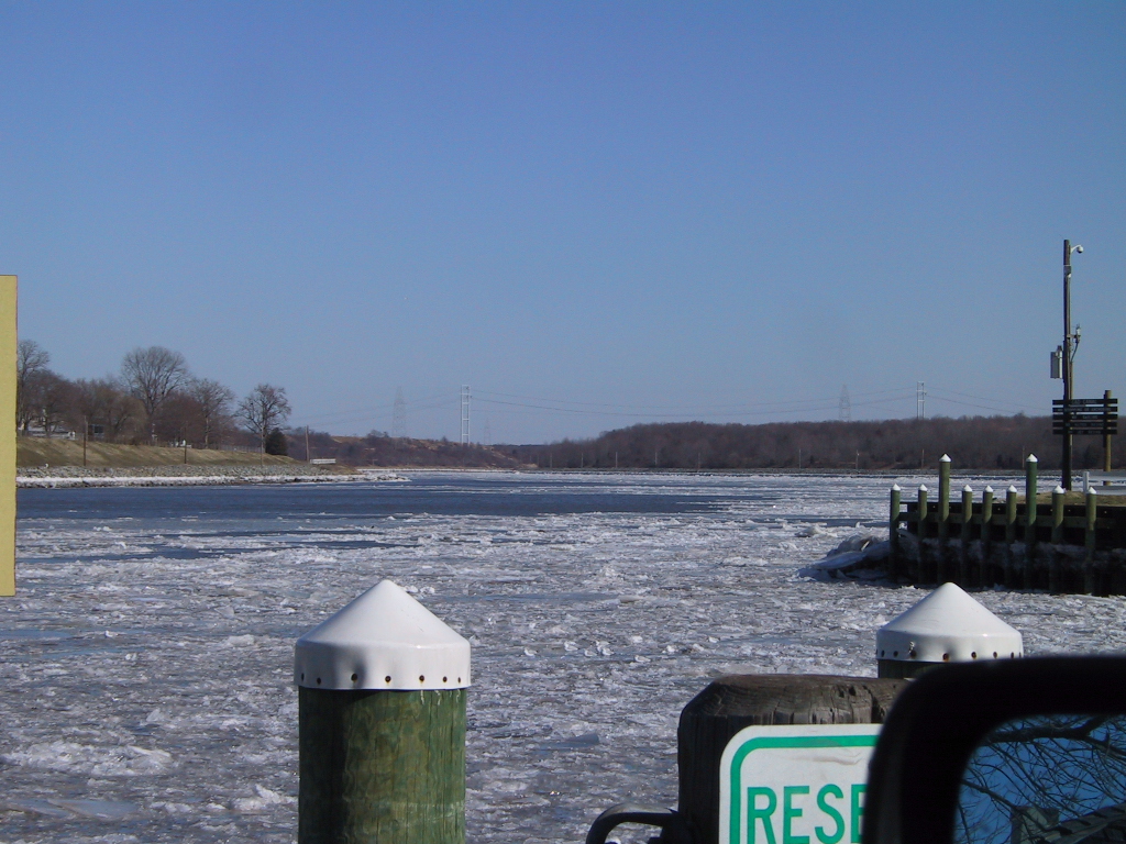
There's that shallow spot again. Warning to all sailboats... |
| And that's looking up the Canal towards Delaware. Is it spring yet? |
|